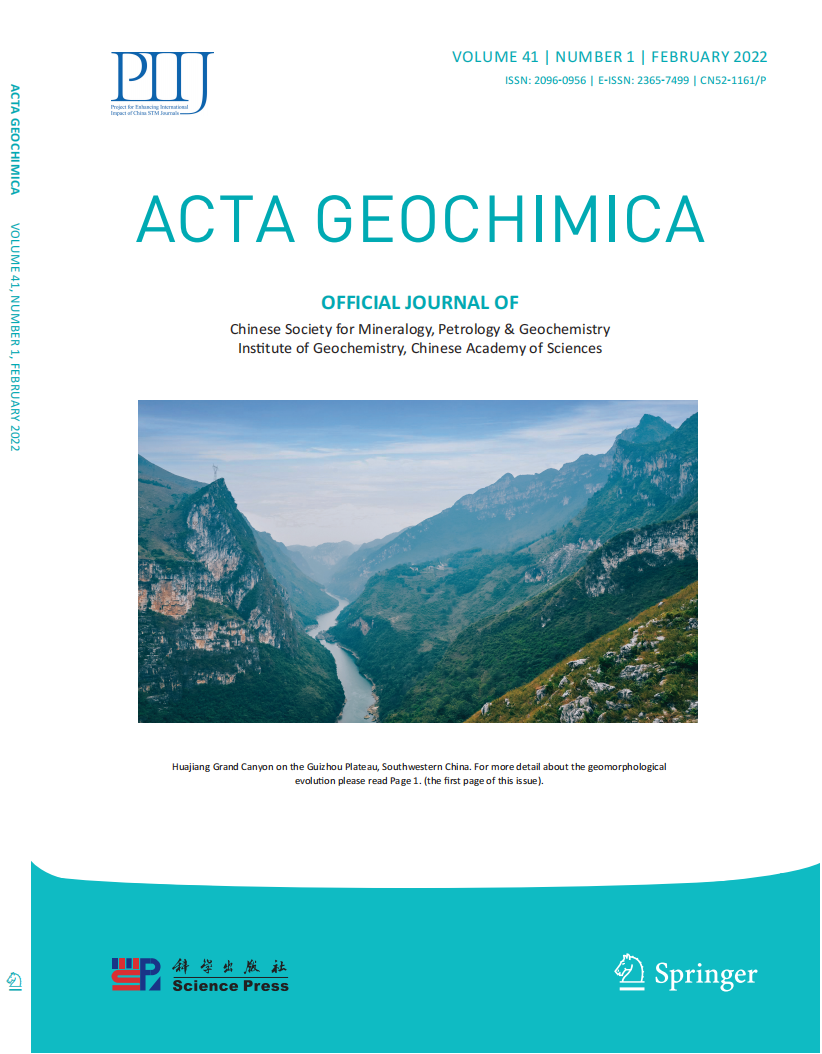
 免费查重
免费查重- 钛学术文献服务平台 \
- 学术期刊 \
- 基础科学期刊 \
- 化学期刊 \
- 地球化学学报(英文)期刊 \
The morphological characteristics of gully systems and watersheds in Dry-Hot Valley, SW China
The morphological characteristics of gully systems and watersheds in Dry-Hot Valley, SW China
原文服务方:
地球化学学报(英文)
摘要:
Gully systems and watersheds are geomorphic units with clear boundaries that are relatively independent of basin landscapes and play an important role in natural geography. In order to explore the morphological characteristics of gully systems and watersheds in the Dry-Hot Valley [South West (SW) China], gullies are interpreted from online Google images with high resolution and watersheds are extracted from digital elevation model at a scale of 1:50,000. The results show that: (1) There are 17,382 gullies (with a total area of 1141.66 km2) and 42 watersheds in the study area. (2) The average gully density of the study area (D) is 4.29 km/km2, gully frequency (F) is 14.39 gullies/km2, the branching ratio (B) is 5.13, the length ratio (L) is 3.12, and the coefficient of the main and tributary gullies (M) is 0.06. The degree of gully erosion is strong to extremely strong, the main development intensity of gully erosion ranges from intense to moderate, and the type of gully system is tributary. (3) The watershed areas (A) are between 0.39 and 96.43 km2, the relief ratio (R) is from 0.10 to 0.19, the circularity ratio (C) is from 0.30 to 0.83, the texture ratio (T) is from 0.82 to 39.35, and the dominant geomorphological texture type is fine. (4) There is a quantitative relationship between F and D:F = 0.624D2 (R =0.84) and T is closely related to D, F, M (R2[0.7). A, R and C are related to M (R2[ 0.5). The development of gully systems is the result of coupling effects between multiple factors. In this area, the degree of erosion and the condition of the main and tributary gullies can be controlled by the degree of topographic breakage in the watershed, which provides some theoretical basis for the evaluation of gully erosion by the latter. In addition, the scale, relief, and shape have a significant impact on the locations of the main and tributary gullies. For tributary gullies, attention should be paid to the interception and control of runoff and sediment in the smal


推荐文章
Hydrodynamic characteristics of Wujiangdu Reservoir during the dry season—a case study of a canyon r
Canyon reservoir
Hydrodynamic characteristics
A transition zone
Wujiang River
Characteristics of CO2 in unsaturated zone (~90 m) of loess tableland, Northwest China
Unsaturated zone
Soil CO2
Carbon stock in deep loess
Quantitative paleoclimate reconstruction
Loess
Chemical characteristics of rainwater in karst rural areas, Guizhou Province, Southwest China
Chemical composition
Rainwater
Karst rural area
Southwest China
Elemental characteristics of lacustrine oil shale and its controlling factors of palaeo-sedimentary
Elemental geochemistry
Palaeosedimentary
Main controlling factors
Lacustrine oil shale
Triassic
Ordos Basin
内容分析
关键词云
关键词热度
相关文献总数
(/次)
(/年)
文献信息
| 篇名 | The morphological characteristics of gully systems and watersheds in Dry-Hot Valley, SW China | ||
| 来源期刊 | 地球化学学报(英文) | 学科 | |
| 关键词 | Morphological characteristics Quantitative relationships Gully system Watershed Dry-Hot Valley | ||
| 年,卷(期) | 2018,(6) | 所属期刊栏目 | |
| 研究方向 | 页码范围 | 854-866 | |
| 页数 | 12页 | 分类号 | |
| 字数 | 语种 | 英文 | |
| DOI | 10.1007/s11631-018-0299-y | ||
五维指标

版权信息
全文
- 全文.pdf
引文网络
引文网络
二级参考文献 (0)
共引文献 (0)
参考文献 (0)
节点文献
引证文献 (0)
同被引文献 (0)
二级引证文献 (0)
2022(0)
- 参考文献(0)
- 二级参考文献(0)
- 引证文献(0)
- 二级引证文献(0)
研究主题发展历程
节点文献
Morphological characteristics
Quantitative relationships
Gully system
Watershed
Dry-Hot Valley
研究起点
研究来源
研究分支
研究去脉
引文网络交叉学科

相关学者/机构
期刊影响力
地球化学学报(英文)
主办单位:
中国科学院地球化学研究所
出版周期:
双月刊
ISSN:
2096-0956
CN:
52-1161/P
开本:
大16开
出版地:
贵州省贵阳市观水路46号地球化学研究所
邮发代号:
创刊时间:
1982-01-03
语种:
英文
出版文献量(篇)
294
总下载数(次)
0
期刊文献
相关文献
推荐文献


